19.12.2019 - 4.1.2020
At the end of the year I became activ as HB0/DK3RED/P from the Principality of Liechtenstein.
But during the two weeks I didn't just sit at the radio station.
But the main purpose of the trip was to recover.
And for me, this includes above all the movement in fresh air and in a beautiful landscape.
Before I dedicate myself to amateur radio, I would like to recommend hikes.
Every tourist can handle these routes - even in winter.
Hike 1: Sücka, Silum, Gaflei and back
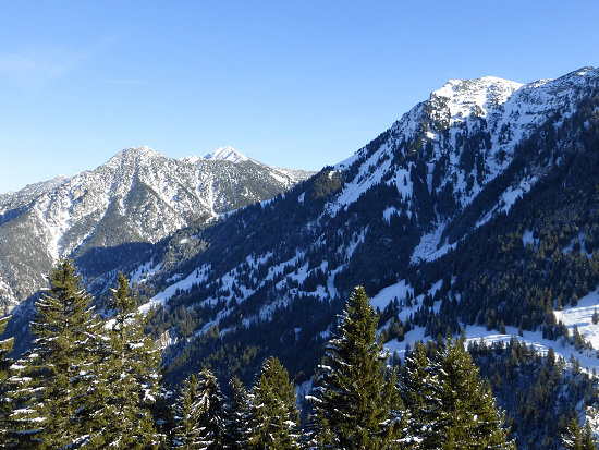 This hike starts at the old tunnel just above the Mountain Inn Sücka.
There you take the path on the Saminatal side to the viewpoint Silumer Kulm (1540 m).
In Silum (1469 m) above the Silum Inn there is a signposted path towards Bargella and Fürstensteig.
At the last house with the name "Leopolds Ruh" there is a fork in the road.
Take advantage of the steeper path here - it will be worth it.

The Färchaeck is a free, protruding spot on the slope.
There you can enjoy a magnificent view of the Rhine Valley, the mountain range in the south of Lichtenstein and the mountains of Switzerland.
 From the Färchaeck you reach the car park at Gaflei (1483 m) after a little more than 1 kilometre and past at the crossroads to the Bargella (1597 m).
The way back starts 100 m beforehand.
The trail continues a bit above the Mountain Inn Matu to Silum.
From there you walk through the forest along the slope on the Rhine valley side to the other side of the old tunnel and finally back to the Mountain Inn.
The entire route is estimated to take about 2.5 hours.
If you don't want to go that far/long, you can already make start your way back already at Silum.
This reduces the time to about 1 hour.
Hike 2: Sücka, Dürraboda, Schmemmiwald and back 
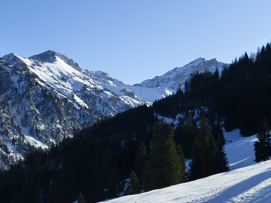 This hike also starts at the old tunnel just above the Mountain Inn Sücka.
There, a path turns sharply to the left in the direction of Rappastein, which turns to the ridge path on the main ridge of the Liechtenstein Alps.
Partly in the forest it goes along the ridge path until you reach at 1591 m an almost free pasture below.
This is the Dürraboda, which means as much as arid or barren ground.
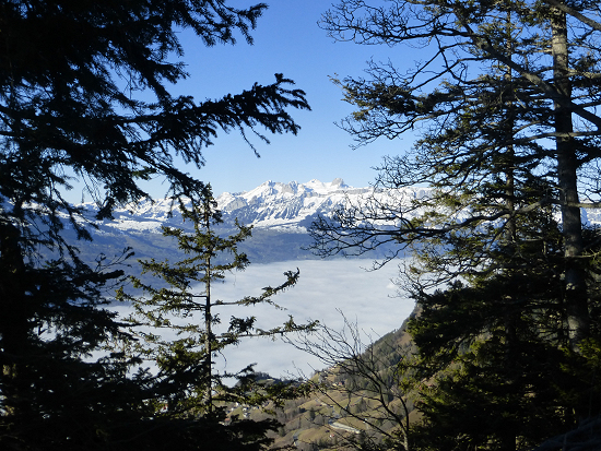 From there you could also follow the hiking trail on the ridge via Chrüppel and Heubüal to the Rappastein.
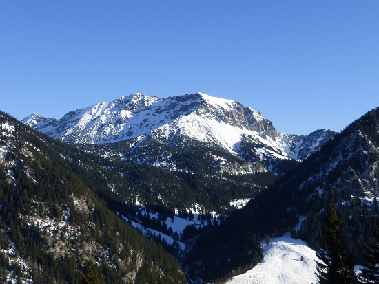 But for this hike, a wide forest path is used on the opposite side of the forest about 100 m downhill.
If you follow it through the Schwemmiwald, you will reach a junction at 1517 m, where you turn sharply left and thus reach the Mountain Inn again on a short way.
You should plan 1.5 hours for the entire round.
Amateur radio 
But back to my radio activity in Liechtenstein.
As a station I used an Elecraft KX3 with 5 watts output power and a 170 meters long off-center feeded doublet antenna.
As in the previous year I chose the Mountain Inn Sücka (in German: Berggasthaus Sücka, www.suecka.li) as location, which is located at a height of 1402 m right here.
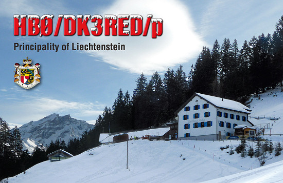 In holiday stile I was able to reach after CQ calls 276 stations all over Europe this time.
Also 3 DX stations (RAas, UN, VE) were among them.
I reached 108 QSO′s (≈ 40 %) to German stations and between 1 QSO and 14 QSO′s to the other DXCC entities.
That was a total of 79 band points.
About 1/2 of the QSO′s were reached at 80 m, 1/4 at 40 m, 1/6 at 160 m and 1/12 together at 20 and 30 m.
I thank all those who were able to record and respond to my silent signals.
The HB0 logbook was updated after the end of the activity.
All QSL cards to the QSO dialogue partners are on the way via the DARC bureau since 16.1.2020.